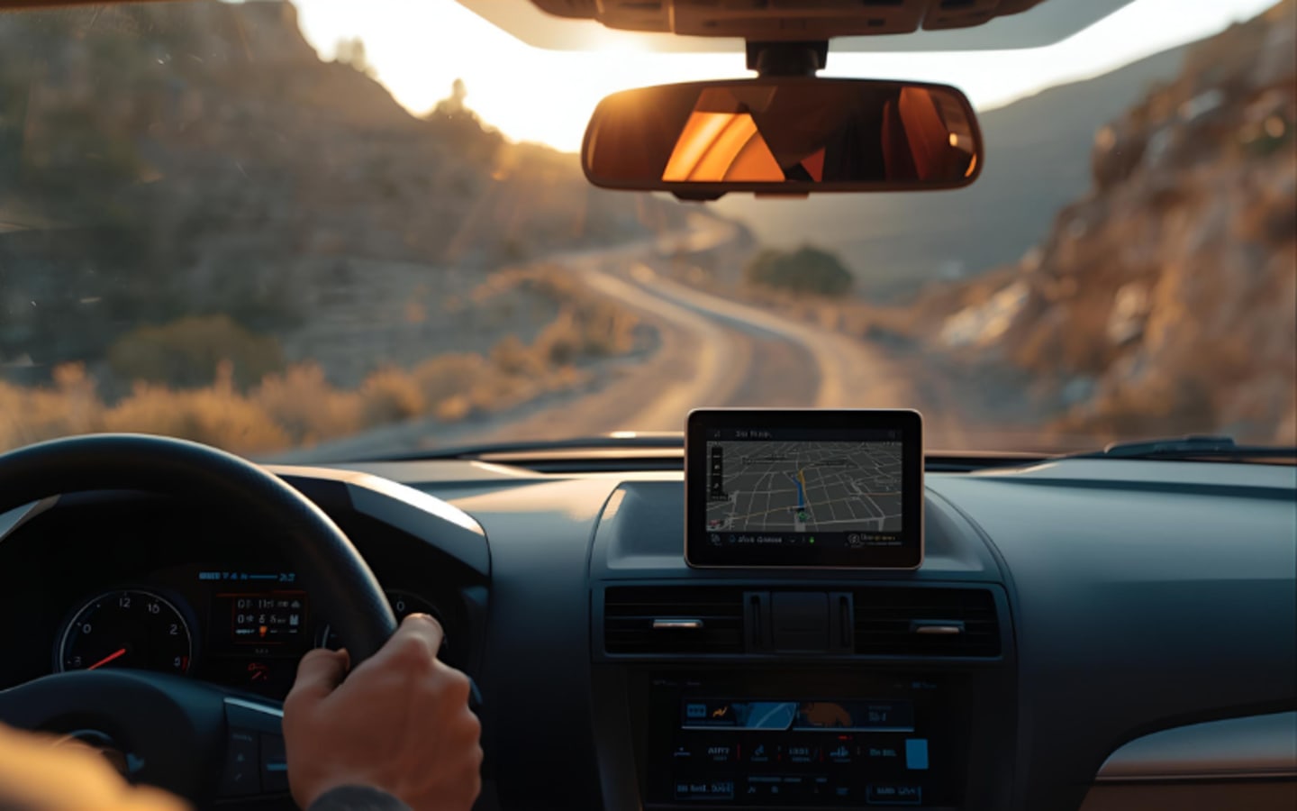
For many guys who've spent years chasing elk or deer across rugged terrain, a good GPS app feels like an old reliable hunting buddy. Tools like the onX Hunt app have changed the game, letting you pull up maps on your phone that show exactly where public land ends and private property begins. It's got that handy dot showing your spot in real time, plus details on hunt zones and land ownership. Since it hit the scene back in 2013 out of Missoula, Montana, it's become a go-to for countless hunters and fishermen who want to stay legal while out in the field.
But here's the catch: even the best tech isn't perfect. That app might say you're on the right side of the fence, but if it's off by just a couple yards, you could end up staring down a trespassing ticket. And trust me, that's no small deal. In places like Wyoming, the rules are clear—whether you're hunting, fishing, trapping, or even picking up shed antlers, it's on you to know your boundaries. No warden is going to buy the line, "Hey, my app said it was okay." You're the one holding the rifle, so you're the one who owns the mistake.
Take it from folks who've been there. Retired wardens recall plenty of calls from ticked-off landowners reporting guys wandering onto their spreads without asking. One former warden from Wyoming shared how he wouldn't go looking for trouble, but when complaints came in, he'd check it out. Sometimes, hunters would blame a glitchy GPS signal, saying they barely crossed over. He'd pull up their app's tracking history, and if it showed they'd hiked way deep into private land, well, that was like the app ratting them out. No excuses there.
In those borderline cases—maybe just a few steps over the line—he'd let the courts sort it. If the prosecutor pushed, he'd write the citation. And the penalties? They sting. You could face fines pushing $1,000, plus getting your hunting license yanked for a while. Worse, they might confiscate your gun or any game you bagged. Imagine wrapping up a long weekend in the backcountry only to lose your hard-earned harvest over a mapping mix-up. It's the kind of headache that turns a great trip sour real quick.
That's why seasoned hunters swear by playing it safe. One guy from Laramie, who's out in the woods all the time for his forestry work, relies on these apps daily. He figures they're spot-on most days, accurate down to a few feet under good conditions. But when he's packing his bow or rifle, he doesn't hug those digital lines. Instead, he builds in a buffer zone—100 to 200 feet back from the boundary. It's not just about avoiding a foot over the edge; it's smarter than that.
Think about it: you spot a big buck grazing near the line, take the shot, and it bolts before dropping. If it crosses onto private ground, you're stuck. In Wyoming and spots like it, you can't just chase after it without the owner's nod. Trespassing to retrieve is still trespassing, no matter how close the animal was. This hunter's rule? If you're not dead certain it'll fall on public dirt, hold your fire. Doesn't matter if it's a trophy you've stalked for hours—better to pass and keep hunting another day. He's seen how constant calls from hunters begging to track game can wear on landowners, making them less likely to say yes next time. Respect goes a long way in keeping access open for everyone.
These apps shine for mapping out big areas, showing you parcels of public land mixed in with private ones. But accuracy questions pop up in trickier debates, like corner-crossing. In checkerboard layouts—common out West where public and private squares alternate—some parcels touch only at corners. Stepping from one public spot to another without touching private air space? That's the gray area.
A big case out of Wyoming grabbed headlines a few years back. Four hunters from Missouri got into it with a ranch owner after corner-crossing near his property in Carbon County. They won in federal appeals court earlier this year, basically saying it's okay as long as you don't set foot on private land. But the fight might head to the Supreme Court soon, with a decision on hearing it expected this fall. Some folks argue you need official survey markers from the USGS to know the exact corner spot for sure, and not every intersection has one. Relying on an app like onX? Critics say its few-yard wiggle room could lead you astray, putting you in hot water if you're wrong.
Others see that accuracy talk as a side issue, maybe even a way to cloud the bigger point: public land should be open to the public. If we start demanding perfect markers or flawless tech before stepping out, a lot of guys might skip spots they have every right to hunt. It's about access, plain and simple—getting to those hard-to-reach public acres without jumping through impossible hoops. For hunters who've put in decades navigating these lands, it's frustrating to think tech limits could lock them out.
At the end of the day, these GPS tools are game-changers, no doubt. They help plan routes, spot prime areas, and avoid blunders that could ruin a season. But they're guides, not guarantees. Smart hunters treat them that way—double-checking with maps, talking to locals if needed, and always erring on the side of caution. Build in that buffer, respect the lines, and you'll spend more time enjoying the hunt and less explaining yourself to a warden. After all, the thrill's in the chase, not the courtroom.


